Traverse from Malesco to Colloro


- Departure: Val Loana - Fondo Li Gabbi (1,256m) (Malesco)
- Duration: 10-12 hours
- Difficulty Level: EE - For expert hikers
- Difference in height: Uphill 1,400m - Downhill 2,000m
- Recommended Period: from June to September
- Involved Municipalities: Malesco, Premosello-Chiovenda
WARNING! A landslide on the path between Alpe Val Gabbio and Alpe In La Piana blocks the passage in safe conditions. (Order No. 11 of 2006 of the Municipality of Trontano: closing of the section of the path struck by the landslide). Walking it is a responsibility of each hiker.
It is usually necessary to spend two days outdoors with overnight stay in one of the bivouacs you find along the route (Scaredi, In La Piana, Val Gabbio, Colma di Premosello). It is recommended to bring a sleeping bag. It is necessary not only to have a good training, but also some basic knowledge of hiking.
The itinerary is interested by some works to recover the trail and to place new trail markers, and you will find horizontal trail markers only. The footbridges in loc. In la Piana is closed for impracticability and must be replaced. For this crossing, it is essential to know how to ford a torrent and how to orient yourself, carefully using the map. Following the trail towards Malesco - Premosello, once you reach the footbridge of Val Gabbio, cross it without taking the trail on the right leading to and ending in Alpe Quagiui. Towards Premosello - Malesco, be careful when you reach the junction after loc. La Motta and take the trail on the right towards La Colma and not on the left towards Alpe Stavelli. The traverse is recommended to exper hikers only, who are equipped with a map and can interpret it; in case you are not an expert hiker, it is recommended to ask for the help of a tour guide.
Stop point: the Park bivouacs (always open) in Scaredi, in In La Piana, in Val Gabbio and at Colma di Premosello
Bibliography: P. Crosa Lenz - G. Frangioni, "Parco Nazionale Val Grande", Edizioni Grossi, Domodossola 2011
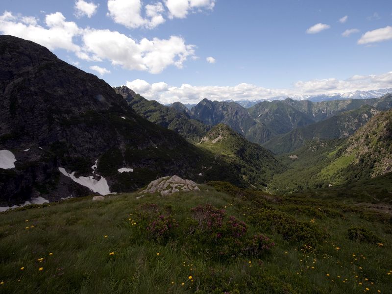
Itineraries traverse
(photo by: Archivio Parco Nazionale Val Grande)
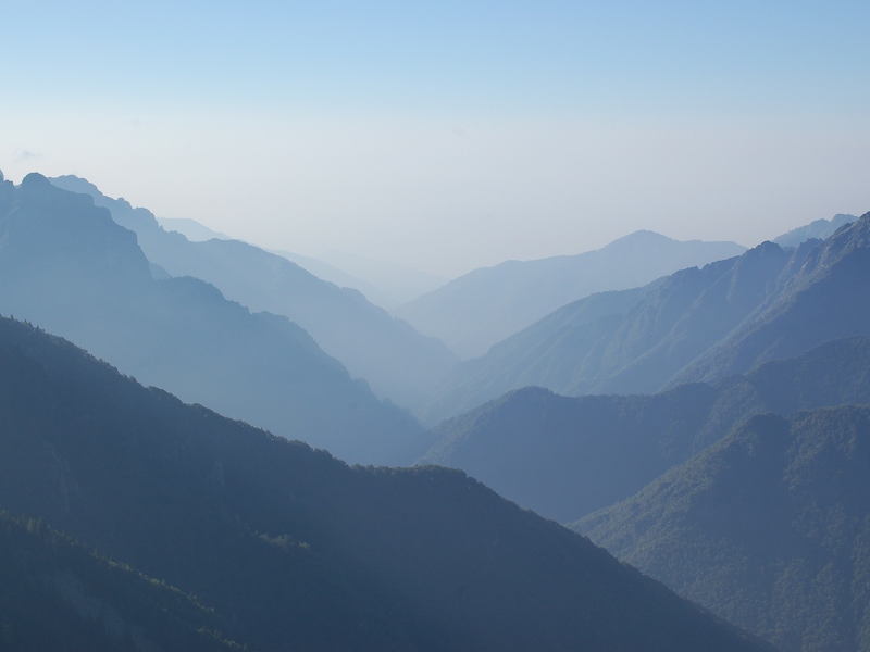
Traverse from Malesco to Colloro
(photo by: Manuel Piana)