Cicogna - Pian Cavallone Refuge

From Cicogna (732mt.) take the mule track that leads to Pogallo and at the first crossroads (signposts) go down to the right towards the Rio Pogallo stream, passing over a bridge in the municipality of Buia (452mt.) Climb up a marked trail to Varola and sometimes very steep (921mt.) and then reach Alpe Curgei (1350mt.), where there is an always open bivouac. From here, in less than an hour, you reach the CAI Refuge del Pian Cavallone (1530mt.)
Variation: overnight stay at the Cappella della Marona 1 hour and 30 minutes or at the bivouac always open at Alpe Fornà 3 hours and 30 minutes from the Pian Cavallone Refuge
Today the Bove Trail is a path that can be completed in three to four days. Since this is a ridge itinerary, it must be walked very carefully and possibly accompanied by an Alpine Guide. The variability, in relation to the weather and the season, of the visibility and the conditions of the soil, make its use difficult and risky, also considering that, besides M. Zeda, the work of maintenance of the path and of signage restoration are not yet carried out.
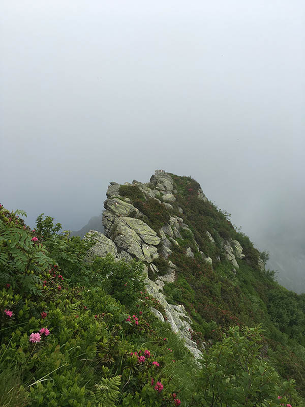
The Bove Path
(photo by: Archivio Parco Nazionale Val Grande)