By bike in the municipalities of Trontano: Verigo and Marone


- Departure: Trontano (520m) (Trontano)
- Arrival: Marone (662m) (Trontano)
- Difficulty Level: MC/BC
- Length: 4.7 km
- Difference in height: 142m
- Minimum Altitude: 520m
- Maximum Altitude: 662m
- Recommended Period: from January to December
- Involved Municipalities: Trontano
From the center of the town of Trontano continue on the paved road, along Via Togano, towards Verigo. Past the arched bridge of the Vigezzina railway, on the left you could see the Mills of Rio Graglia, a completely restored site. Shortly after, on the right, take the road that, crossing the tracks of the Vigezzina railway, leads to the village of Verigo. To continue in the direction of Marone, go back down and at the crossroads continue to the right, reaching a square, where you continue on an unpaved road that, with some ups and downs and passing near the Vigezzina railway, leads to the village of Marone.
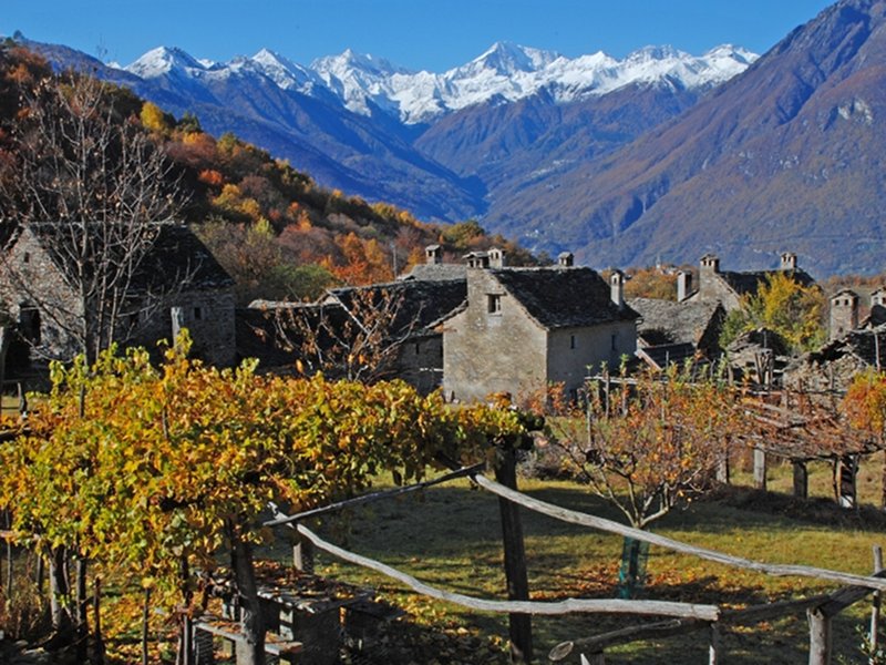
Verigo
(photo by: Claudio Venturini Delsolaro)
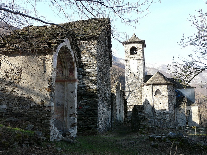
Marone
(photo by: Archivio Parco Nazionale Val Grande)